The landscape is no longer made up of isolated monuments but of “goods” connected to each other, which only if inserted in a “system” and framed within it become understandable in all their historical, cultural and social value.
The main tool of the seascapes archaeology is the webGIS, which allows for permanently available knowledge, updated over time, of each individual cultural asset. It thus represents a form of objectification of CH, in fact, cultural assets “do not exist” if they are not catalogued.
The scientific community has fully addressed the increasing demand for high-resolution products with metric and colourimetric content for terrestrial applications. Conversely, the high-resolution 3D reconstruction, the radiometric correction capability, and the positioning in the underwater context are still open issues.
The project partners already own one underwater ROV (underwater drones) with its SBL (Short BaseLine) positioning system, and a newly engineered surface vessel equipped with a multibeam sensor (owned by PoliTO) that will be used for data collection after being optimized in their performances.
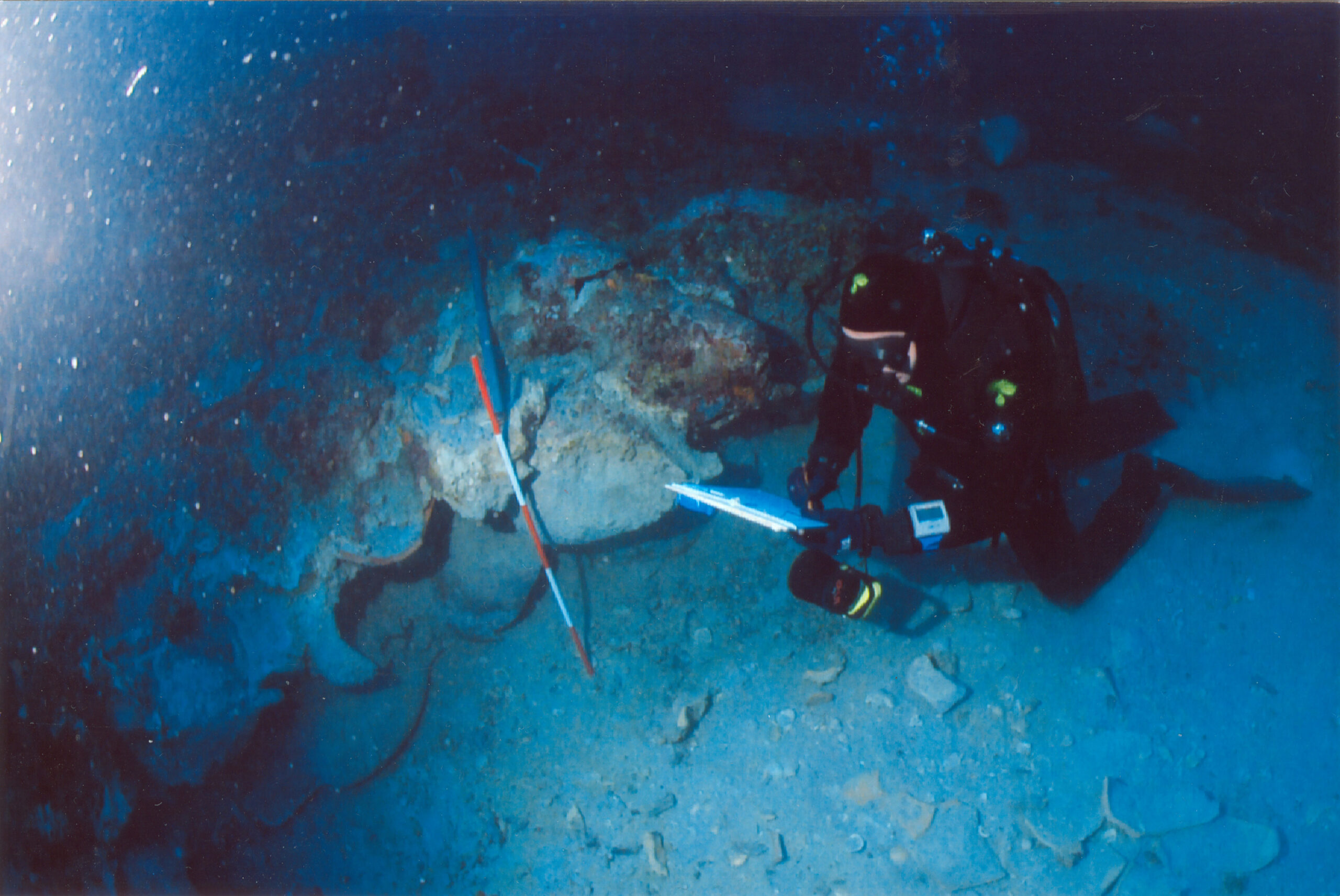
UniSAL also provides skilled scuba divers to compare the effectiveness and reliability of marine drones concerning human operations.
DESCRIPTION OF THE EMPLOYED METHODOLOGIES FOR DEVELOPING THE PROJECT
State of the art, archaeological new surveys and implementation of webGIS
Exploring USV and multi-constellation GNSS positioning for Underwater survey operation
Proposal of a hybrid USV-ROV Visual-Acoustic System
Testing strategies for underwater ROV positioning system
Geomatics data integration and processing
State of the art, archaeological new surveys and implementation of webGIS
The first phase is the preliminary recognition of the state of the art, flanked by most recent archaeological survey campaigns, aimed at implementing a webGIS of the Ionian-Southern Adriatic ancient shipwrecks. Bibliographical and archival documentation, aerial images, scattered archaeological data, archaeological surveys, oral information and news will also be of great help, as well as the study of winds and currents:
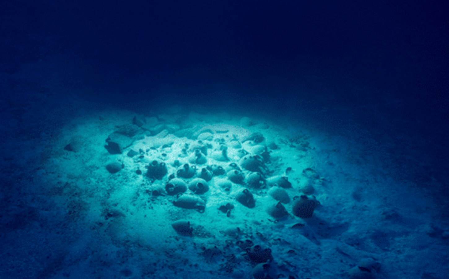
everything will help to focus on routes sailed by cargo ships already in ancient times. The webGIS, public and georeferenced for the virtual exploration of ancient shipwrecks through voice, text, images, and animations, responds to the need to describe this “invisible” heritage to an ever-increasing number of people. The map will represent an innovative GIS tool created in an interactive, user-friendly and easily readable way, even by a non-technical public, to promote underwater sites with accessibility standards. Thanks to simple navigation on the digital map, it will finally be possible to access a historical heritage beyond the reach of the potential public.
Testing strategies for underwater ROV positioning system
The partners will stress the potentiality of the USV with a methodology oriented to sensor integration, data transmission and processing. The project will develop a robust and reliable navigation system based on multi-constellation GNSS (Global Navigation Satellite System) concerning mainly the surface floating vessel. Receiver Autonomous Integrity Monitoring (RAIM) techniques for multi-constellation receivers will be used to improve the accuracy of the positioning. The system will also benefit from introducing Inertial Measurement Units (IMU) to check and automatically correct the vessel’s trajectories during semiautomatic surveys.
Exploring USV and multi-constellation GNSS positioning for Underwater survey operation
As previously mentioned, underwater positioning is particularly challenging due to the rapid attenuation of Global Navigation Satellite Systems (GNSS) and radio-frequency signals in the water medium, causing no access to the traditional satellite-based positioning. Past and usual approaches to solving the underwater localization problem have employed expensive inertial sensors, used beacons in the region of interest, or required periodic surfacing of the drone. While these methods are useful, their performance is radically limited.
Geomatics data integration and processing
Concerning the photogrammetric workflow, attention will be paid to the radiometric calibration of the images, and to the identification of an adequate acquisition procedure, thus defining a tool for planning (pre-survey) and checking (post-survey) the geometric quality of the survey. The project will develop a hybrid visual-acoustic measuring system based on high-resolution digital cameras with the integration of acoustic sensors (sonar and multibeam), exploring the potentialities of an Underwater Positioning System (UPS) based on GNSS surface nodes and encoded acoustic signals. The unit will share the efforts to improve the navigation of the ROV and USV in terms of precise positioning, attitude estimation, georeferencing, integration of different sensors, and underwater navigation improvements. These additional techniques allow to increase the content of achievable information and, at the same time, to reduce the measurement errors due to environmental conditions, which decrease the image quality and, therefore, sensibly reduce the accuracy and precision of the 3D model derived by the underwater surveying.
Proposal of a hybrid USV-ROV Visual-Acoustic System
The units will work on the possible methodologies to optimize the acquisition and the processing of high-quality data and obtain high-precision Ground Control Points (GCPs) positioning. Data fusion and integration for underwater positioning will merge different systems and sensors (optical, doppler velocity log, acoustic SBL, sonar, multibeam), along with the underwater geodetic network implementation: stable installations, accurate and redundant reference measurements, definition of technical procedures to acquire and process data. The coupling of real-time data fusion from different sensors (visual and acoustics) will allow the archaeologists to respond to the needs of mapping, documenting, and exploiting the submerged archaeological cultural heritage. The problem of camera calibration (geometry distortion compensation) in an aquatic environment, considering both the cameras and the underwater cases, will be addressed in order to identify the approach that allows for achieving the best results so as to define standardized procedures